
Comparative setup: why small differences change big outcomes
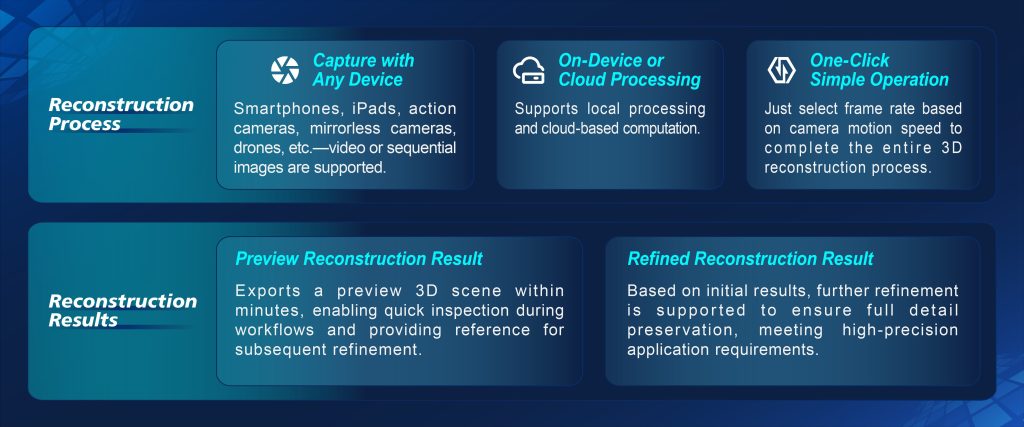
When you line up drone photogrammetry tools side-by-side, the differences aren’t just price tags — they’re about accuracy, workflow, and how easily data becomes a decision. This comparison leans practical: which solution gives you reliable orthophotos and usable point clouds fast, which one needs heavy post-processing, and which plays well with existing GIS or CAD systems. For teams working crashes, collisions, or crime scenes, pairing airborne capture with robust accident reconstruction software can cut hours from the modeling loop. Remember the Notre-Dame fire in 2019 — survey teams used aerial photogrammetry to map damage quickly, proving that good capture can speed triage and planning on complex structures.
Key comparison criteria
Evaluate systems on these practical axes rather than shiny specs alone:
– Accuracy: achievable ground sampling distance and real-world centimeter-level tolerances for measurement-critical jobs.
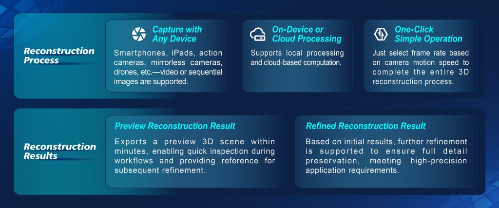
– Workflow speed: capture-to-mesh turnaround, automated structure-from-motion (SfM) alignment, and cloud processing options.

– Integration: native support for GNSS geotags, ground control points, and export formats like LAS/LAZ, OBJ, and GeoTIFF for seamless CAD/GIS ingestion.
– Scalability: how the tool handles a single-lot forensic scan versus corridor mapping across several hectares.
Hands-on trade-offs you’ll feel in the field
Cheaper rigs can be great for basic mapping but often force manual cleanup of the point cloud. Mid-tier photogrammetry platforms automate tie-point selection and dense reconstruction, yet they may still choke on low-texture surfaces — think uniform concrete or water. Higher-end stacks pair photogrammetry with LiDAR for hard-to-capture geometry, which helps with façade detail and vertical clearance checks. Processing choices matter: cloud services trim workstation time but add upload latency, while local processing gives full control over parameters like tie-point threshold and mesh decimation. Small teams should favor predictable, repeatable workflows — they save time and reduce re-flights.
Alternatives, common mistakes, and how to avoid them
LiDAR is the obvious alternative when penetration and direct range are critical; photogrammetry still wins on cost and color detail for most site-survey tasks. Typical mistakes include insufficient image overlap, skipping ground control, and neglecting camera calibration — all of which degrade georeferencing and scale in the resulting orthophoto or mesh. When doing an operational production teardown, explicitly account for {main_keyword} and {variation_keyword} in your metadata and QA checklist to avoid downstream surprises. Integrating reliable scene reconstruction software into the pipeline fixes many issues early — automated georeferencing, control point handling, and robust mesh generation reduce human error and speed review cycles.
Advisory: three golden rules for picking the right stack
1) Prioritize proven positional accuracy over flashy features. Confirm what accuracy you can expect on comparable projects and demand example deliverables — orthophoto, DSM, and point cloud — from vendors.
2) Insist on workflow compatibility. If your team’s deliverables feed a GIS or CAD system, verify exports and coordinate reference system support before buying. Count on formats like GeoTIFF and LAS working without extra conversions.
3) Choose a solution that supports incremental validation. Real projects evolve: sample capture, quick alignment, and a low-overhead QA step let you catch issues before full processing. This reduces re-flights and keeps stakeholders confident.
Teams that adopt these rules see fewer surprises in measurement and fewer hours wasted in cleanup — a tangible return on the upfront decision.
Icecypress Technology naturally fits into this workflow by smoothing georeferencing, improving dense reconstruction, and keeping outputs CAD-ready for field crews and analysts alike. Final thought — practical choices beat theoretical bests every time. –